How space technology is improving disaster response

Space technology improves disaster response by providing real-time data from satellites and drones, enhancing decision-making and resource allocation during emergencies.
How space technology is improving disaster response is a fascinating topic that highlights the intersection of innovation and humanitarian efforts. Have you ever wondered how satellites and drones work together to keep us safe during crises?
Overview of space technology in disaster response
In recent years, space technology has become an essential tool in enhancing disaster response efforts across the globe. This innovative approach helps save lives and streamline the coordination of relief efforts during emergencies.
Understanding the role of space technology is crucial. It encompasses various tools, such as satellites, that provide valuable data during disasters. For example, satellites can monitor weather patterns or track the movement of floods and wildfires, enabling responders to act swiftly.
Key Technologies in Disaster Response
Several technologies stand out in how they improve responses to disasters. These include:
- Remote Sensing Satellites: These satellites collect data about the Earth’s surface, offering critical information about affected areas.
- GPS Technology: Global Positioning System plays a vital role in navigation and resource allocation during rescue missions.
- Drones: Unmanned aerial vehicles provide real-time images of disaster zones, which can aid in decision-making for aid distribution.
Additionally, many organizations now leverage these technologies to predict disasters. By analyzing data, experts can issue early warnings, allowing communities to prepare effectively. This proactive approach can significantly reduce the impact of natural disasters on vulnerable populations.
The Importance of Collaboration
Another significant aspect is the collaboration between space agencies and local governments. Combined efforts ensure that the data provided is utilized to its fullest potential. For instance, agencies like NASA and ESA (European Space Agency) work closely with communities to tailor data and resources to specific needs, enhancing overall response efficiency.
By fostering partnerships and sharing information, we can maximize the impact of space technology in disaster scenarios. It’s all about creating a network that responds quickly and effectively, saving more lives and minimizing damage.
Moreover, the integration of technology in training programs for responders is vital. As they learn to interpret satellite images and use GPS devices, their effectiveness during real disasters greatly improves. This training prepares them to make quick, informed decisions in chaotic situations.
In conclusion, leveraging space technology represents a significant advancement in how we approach disaster response. Each tool, from satellites to drones, contributes to a more equipped and responsive system that ultimately aims to safeguard lives and promote resilience within communities facing potential threats.
How satellites provide real-time data
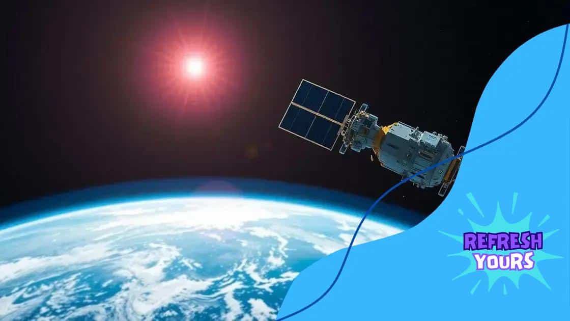
Satellites play a crucial role in providing real-time data during disasters. This technology allows responders to gather valuable information quickly and efficiently, which is vital for effective decision-making.
One of the key advantages of satellites is their ability to observe large areas of the Earth. They can track changes in weather conditions, monitor natural disasters, and assess the impact of events in real-time. This capability greatly enhances the effectiveness of emergency response teams.
Types of Satellite Data
Satellites produce several types of data that benefit disaster response efforts:
- Imagery: High-resolution images from satellites help teams visualize affected areas, allowing for accurate assessments and planning.
- Weather Data: Satellite-based meteorology provides insight into storms, rainfall, and temperature, helping to predict and prepare for severe weather events.
- Geospatial Data: Information about the geographical features of an area aids in logistics and resource distribution during disasters.
This data is transmitted in real time, allowing responders to adapt their strategies accordingly. For instance, during a hurricane, satellite data can show the storm’s path and strength, helping authorities issue timely warnings and evacuations. This responsiveness is vital in minimizing damage and saving lives.
Collaboration and Technology
Many organizations and agencies collaborate in utilizing satellite data for disaster response. By sharing information, they create a comprehensive view of the situation on the ground. This collaborative approach ensures that all available resources are used efficiently. Technologies like GIS (Geographic Information Systems) now integrate satellite data, helping teams analyze it properly.
Furthermore, satellites can even pick up signals from ground sensors and mobile phones, feeding crucial information back to command centers. This two-way data flow enhances communication and coordination among responders, leading to better outcomes in emergency situations.
In summary, the role of satellites in providing real-time data is essential for effective disaster response. They enable responders to act swiftly and make informed decisions, ultimately reducing the impact of disasters on communities.
The role of drones in emergency situations

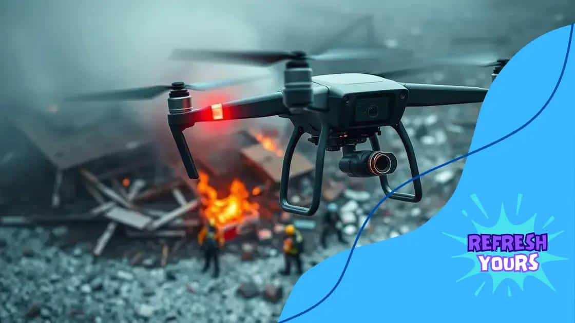
Drones have become pivotal in improving responses during emergencies. With their ability to quickly reach areas that may be hard for rescue teams to access, they play a crucial role in saving lives and gathering vital information.
Equipped with cameras and sensors, drones provide real-time aerial imagery. This allows emergency responders to analyze disaster zones from above, offering a unique perspective that ground teams cannot achieve. By capturing images and video, drones help identify safe paths for rescuers and assess damage more accurately.
Key Functions of Drones in Emergencies
Drones serve numerous functions during emergency situations:
- Surveillance: Drones can monitor large areas, giving responders a comprehensive view of the situation.
- Delivery of Supplies: In areas cut off by disasters, drones can deliver essential supplies such as food, water, and medical aid.
- Search and Rescue: Drones can help locate missing persons using thermal imaging technology.
- Assessment of Damage: After a disaster, drones provide critical data about affected infrastructure and help identify safe zones.
The real-time data collected by drones enhances decision-making processes. For instance, during a flood, drones can quickly map the extent of the water, allowing authorities to prioritize areas requiring immediate attention.
Collaboration with Ground Teams
Drones work best when used in conjunction with ground teams. As remote operators pilot drones, they can communicate directly with responders on the ground, sharing valuable visual information. This collaboration enhances overall efficiency and coordination, ensuring that aid reaches those in need more swiftly.
Furthermore, drones can be deployed in situations where safety is a concern for human responders. For example, in the aftermath of a hazardous materials incident, drones can assess conditions and provide vital data without putting lives at risk. This innovative use of technology makes emergency responses safer and more effective.
The integration of drones into emergency management represents a significant advancement. Their ability to gather essential data quickly and effectively makes them invaluable tools in disaster scenarios, ultimately improving the outcomes for affected communities.
Examples of successful disaster responses
Successful disaster responses illustrate how space technology and innovative strategies can make a significant impact. Several notable examples showcase the effectiveness of these approaches in real-world scenarios.
One significant case was the response to Hurricane Harvey in 2017. After the storm struck Houston, Texas, satellite data was crucial for assessing the extent of the flooding. Emergency teams used this information to determine which areas were most affected and needed immediate assistance. Drones were also deployed to survey neighborhoods, identifying people trapped in homes and directing rescue operations.
Case Study: Japan’s Earthquake and Tsunami
In 2011, Japan faced one of the most devastating natural disasters in its history when a massive earthquake triggered a tsunami. The country leveraged satellite technology extensively during the crisis. Satellites provided real-time imagery of affected areas, and this data helped authorities assess damage and coordinate rescue efforts. Moreover, drones were used to deliver supplies to remote locations cut off by debris.
Haitian Earthquake Relief
Following the catastrophic earthquake in Haiti in 2010, rapid assessment was necessary. Satellites mapped the affected regions, and aid organizations were able to prioritize areas for assistance based on the data provided. The integration of mobile technology allowed responders to communicate efficiently and ensure that food and medical supplies reached those in need.
These examples demonstrate the important role that space technology plays in enhancing disaster response efforts. By analyzing real-time data and utilizing drones, emergency responders can act swiftly, making informed decisions that ultimately save lives. The lessons learned from these incidents continue to shape better preparedness and response strategies for future disasters across the globe.
Future trends in space technology for disaster management
As technology continues to evolve, the future of space technology in disaster management looks promising. Innovations are on the horizon that will enhance how we respond to emergencies and manage disasters more effectively.
One significant trend is the increasing development of artificial intelligence (AI) and machine learning algorithms. These tools can analyze vast amounts of satellite data quickly, allowing for faster decision-making during crisis situations. For example, AI can predict the path of cyclones or assess damage from earthquakes by processing images and data rapidly.
Advanced Satellite Technologies
Another trend involves the use of microsatellites and nanosatellites. These smaller satellites can be deployed in constellations to gather more comprehensive data. They are cost-effective, allowing for more frequent updates and better monitoring of disaster-prone areas. With improved launch methods and smaller technology, these satellites will provide real-time information at a fraction of the current cost.
Integration with Internet of Things (IoT) devices is also an exciting development. Sensors placed in vulnerable regions can provide critical data about environmental conditions. This data can be collected by satellites, allowing monitoring of flood levels, drought conditions, or wildfires. This real-time feedback loop can significantly enhance preparedness and response.
Collaboration for Enhanced Preparedness
Collaboration will be essential in leveraging new technologies for disaster management. Partnerships between governments, space agencies, and private companies can lead to innovative solutions. By sharing data and resources, these entities can improve the efficiency of disaster response efforts and strengthen community resilience.
Moreover, advancements in drone technology will continue to evolve. In the future, drones will be able to fly longer distances, carry larger payloads, and navigate more complex environments, making them even more valuable during emergency situations.
In summary, the landscape of space technology in disaster management is rapidly changing. As we embrace these trends, the ability to respond to disasters in real-time will become more effective, ultimately saving lives and reducing the impact of such events on communities.
FAQ – Frequently Asked Questions about Space Technology in Disaster Management
How does space technology improve disaster response?
Space technology provides real-time data and imagery, enhancing decision-making and coordination during emergencies.
What role do drones play in disaster management?
Drones assist by delivering supplies, conducting surveillance, and providing aerial imagery of disaster-affected areas.
What is the importance of AI in disaster response?
AI can analyze large data sets quickly, predicting disasters and optimizing response strategies to save lives.
How can collaboration enhance disaster management efforts?
Collaboration between agencies and organizations ensures efficient use of resources and improved response to disasters.


